ARTWORKS ON PAPER
Tuesday, 15 - Tuesday, 22 September 2020
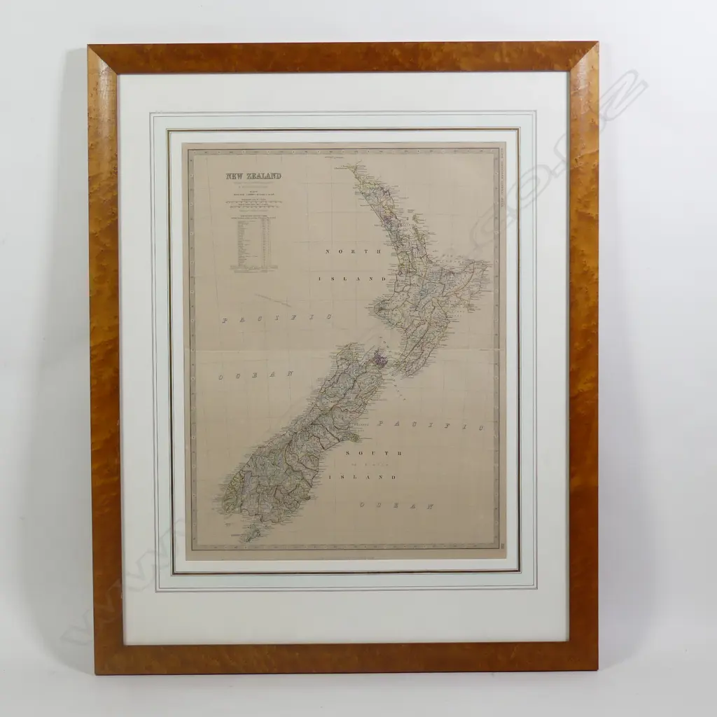
A steel engraved
Realised: $220 plus premium
Lot Details
hand coloured map of New Zealand, from Keith Johnston's General Atlas, 1879 edition, plate 28, the 63 counties in outline colour, fold at centre as published. 570 x 440mm. Framed and glazed. overall 900 x 720mm. Est. 200 - 400